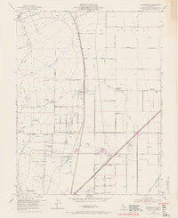
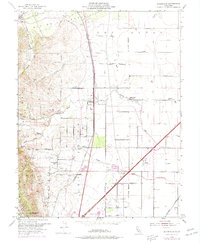
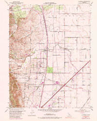
1953 Map of Allendale
USGS Topo · Published 1969About this map
Allendale and the surrounding agricultural landscapes of Solano County are captured during a period of infrastructure expansion in the mid-20th century. The Southern Pacific railroad serves as a central spine through the region, connecting the small siding at Hartley and the settlement of Gibson. To the west, the English Hills and Drakes Point overlook the valley floor, where the Putah South Canal and various siphons indicate the managed irrigation essential to this orchard-heavy environment.
Find a feature on this map
36 named features on this map. Tap any name to fly to it.
Don’t see what you’re looking for? This feature index may not catch every label — zoom into the map to look around manually.
Map Details
Editions of this 1953 Allendale Map
6 editions found
Other maps of this area

1902 · Napa
USGS Topo · 1:125,000

1907 · Woodland
USGS Topo · 1:62,500

1908 · Vacaville
USGS Topo · 1:62,500

1915 · Merritt
USGS Topo · 1:31,680

1916 · Dixon
USGS Topo · 1:31,680

1916 · Winters
USGS Topo · 1:31,680

1916 · Maine Prairie
USGS Topo · 1:31,680

1917 · Wolfskill
USGS Topo · 1:31,680

1917 · Elmira
USGS Topo · 1:31,680

1921 · Mt. Vaca
USGS Topo · 1:62,500