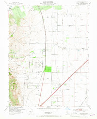
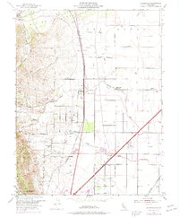
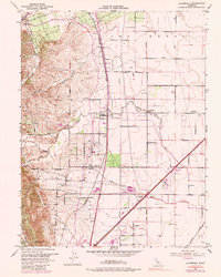
1953 Map of Allendale
USGS Topo · Published 1967About this map
The agricultural landscape of Los Putos Grant and the English Hills is meticulously documented here during the early 1950s. This region of Solano County shows a transition from the rugged western heights down to the valley floor, where the Southern Pacific railroad connects the small settlements of Allendale, Hartley, and Gibson. The map captures a post-war rural infrastructure defined by scattered country schools such as Olive Sch and Browns Valley School, alongside local spiritual landmarks like Union Chapel. Water management is central to this environment, evidenced by the course of Putah Creek along the northern border and a network of smaller drainages like Arroyo Seco and Sweany Creek. The presence of the Vaca Dixon Airport and the Vaca Dixon Substation indicates the growing modern utility and transportation needs of the mid-century period, while the Grant School (Aban'd) reflects the shifting demographics of the local school districts.
Find a feature on this map
25 named features on this map. Tap any name to fly to it.
Don’t see what you’re looking for? This feature index may not catch every label — zoom into the map to look around manually.
Map Details
Editions of this 1953 Allendale Map
6 editions found
Other maps of this area

1902 · Napa
USGS Topo · 1:125,000

1907 · Woodland
USGS Topo · 1:62,500

1908 · Vacaville
USGS Topo · 1:62,500

1915 · Merritt
USGS Topo · 1:31,680

1916 · Dixon
USGS Topo · 1:31,680

1916 · Winters
USGS Topo · 1:31,680

1916 · Maine Prairie
USGS Topo · 1:31,680

1917 · Wolfskill
USGS Topo · 1:31,680

1917 · Elmira
USGS Topo · 1:31,680

1921 · Mt. Vaca
USGS Topo · 1:62,500