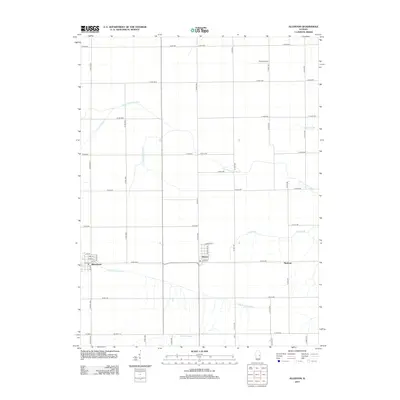
2012 Map of Allerton
USGS Topo · Published 2012About this map
Broadlands and Allerton anchor this 2012 survey of eastern Illinois, a landscape defined by its grid-iron road system and complex drainage network. The terrain is bifurcated by the divide between the Little Vermilion River system flowing north and east, and the E Br Embarras River draining the southern portion of the quadrangle. Local agricultural engineering is evident in the extensive waterway modifications, including the Little Vermilion Ditch and Jordan Slough. The small settlement of Hastings sits near the eastern edge, while the private Trisler Airport serves the rural aviation needs of the area. This map provides a detailed look at the rural intersection of Champaign and Vermilion counties, showing how the 19th-century township system continues to dictate the modern landscape through roads like Co Rd-800 and E 900 N Rd.
Find a feature on this map
55 named features on this map. Tap any name to fly to it.
Don’t see what you’re looking for? This feature index may not catch every label — zoom into the map to look around manually.
Map Details
Editions of this 2012 Allerton Map
This is the sole edition of this map. No revisions or reprints were ever made.
Other maps of this area

1906 · Urbana
USGS Topo · 1:62,500

1931 · Fithian
USGS Topo · 1:48,000

1943 · Fithian
USGS Topo · 1:62,500

1953 · Danville
USGS Topo · 1:250,000

1953 · Indianapolis
USGS Topo · 1:250,000

1955 · Danville
USGS Topo · 1:250,000

1956 · Danville
USGS Topo · 1:250,000

1956 · Indianapolis
USGS Topo · 1:250,000

1956 · Newman
USGS Topo · 1:62,500

1956 · Villa Grove
USGS Topo · 1:62,500