2024 Map of Allerton
USGS Topo · Published 2024About this map
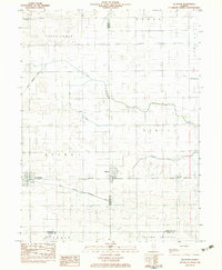
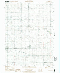
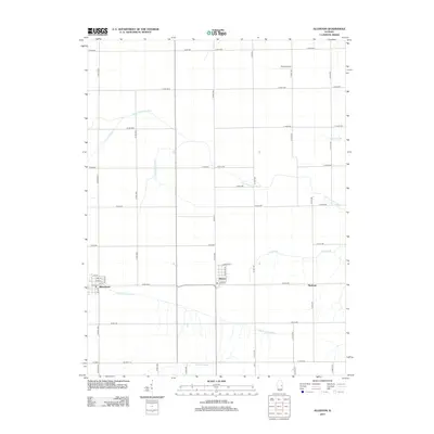
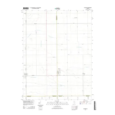
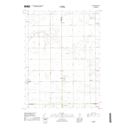
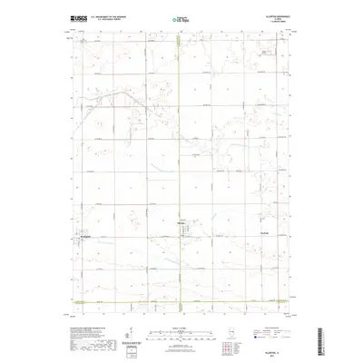
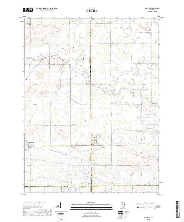
Allerton and Broadlands anchor this agricultural landscape at the border of Champaign and Vermilion counties. The terrain is defined by a dense network of watercourses, including the Little Vermilion River and the East Branch Embarras River, which flow through a grid of rural roads and drainage features like the Little Vermilion Ditch and Jordan Slough. The village of Allerton shows a detailed street plan featuring Chicago Ave and Wabash Ave, reflecting the region's historic ties to Midwestern transportation hubs.
Find a feature on this map
43 named features on this map. Tap any name to fly to it.
Don’t see what you’re looking for? This feature index may not catch every label — zoom into the map to look around manually.
Map Details
Editions of this 2024 Allerton Map
This is the sole edition of this map. No revisions or reprints were ever made.
Historical Maps of Broadlands Through Time
7 maps found