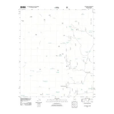
2011 Map of Alma Mesa
USGS Topo · Published 2011About this map
Charlie Moore Place and the cattle-rearing landmarks of the Arizona-New Mexico border define this high-altitude landscape. The map details a network of water management features essential for ranching, including Mesa Tank, Antelope Tank, and Sixshooter Flat Tank. These man-made catchments are interspersed with natural water sources like Little Blue Creek and Yam Spring. Corrals such as Bedrock Corral and Open Flat Corral indicate the working nature of the land, while Stateline Camp sits directly on the boundary between the two states.
Find a feature on this map
77 named features on this map. Tap any name to fly to it.
Don’t see what you’re looking for? This feature index may not catch every label — zoom into the map to look around manually.
Map Details
Editions of this 2011 Alma Mesa Map
This is the sole edition of this map. No revisions or reprints were ever made.
Other maps of this area

1910 · Mogollon
USGS Topo · 1:125,000

1912 · Mogollon
USGS Topo · 1:125,000

1913 · Morenci
USGS Topo · 1:125,000

1915 · Morenci
USGS Topo · 1:125,000

1915 · Reserve
USGS Topo · 1:125,000

1918 · Reserve
USGS Topo · 1:125,000

1922 · Nutrioso
USGS Topo · 1:125,000

1954 · Clifton
USGS Topo · 1:250,000

1957 · Clifton
USGS Topo · 1:250,000

1958 · Clifton
USGS Topo · 1:250,000