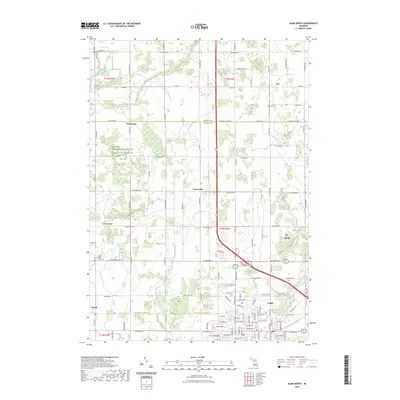
2023 Map of Alma North
USGS Topo · Published 2023About this map
Alma and St. Louis anchor the southern and eastern edges of this Gratiot County landscape, where the Pine River snakes through the residential grid and the grounds of Alma College. The area transitions from the urbanized streets of Michigan Ave and Washington Ave into a rural expanse defined by section-line roads and scattered agricultural settlements. Small crossroads like Forest Hill, Elwell, and Summerton dot the interior, representing the local social and commercial hubs of the farming community.
Find a feature on this map
64 named features on this map. Tap any name to fly to it.
Don’t see what you’re looking for? This feature index may not catch every label — zoom into the map to look around manually.
Map Details
Editions of this 2023 Alma North Map
This is the sole edition of this map. No revisions or reprints were ever made.
Other maps of this area

1916 · Mount Pleasant
USGS Topo · 1:62,500

1919 · Mount Pleasant
USGS Topo · 1:62,500

1930 · Shepherd
USGS Topo · 1:48,000

1935 · Alma
USGS Topo · 1:62,500

1936 · Shepherd
USGS Topo · 1:62,500

1938 · Alma
USGS Topo · 1:62,500

1943 · Mount Pleasant
USGS Topo · 1:62,500

1954 · Midland
USGS Topo · 1:250,000

1958 · Midland
USGS Topo · 1:250,000

1959 · Midland
USGS Topo · 1:250,000