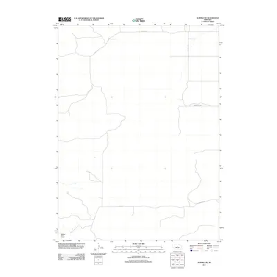
2011 Map of Almeria SW
USGS Topo · Published 2011About this map
McMillan Ranch Airport anchors the southwest corner of this remote Loup County landscape, where the sandhills terrain of central Nebraska is navigated by a sparse network of section-line roads and winding trails. Surveyed in the early 21st century, the map reveals a vast, open topography defined more by its landforms than by concentrated settlements. Transport through this rural area relies on a handful of named routes, such as the east-west Madison Squire Rd and the northern Dry Valley Rd. Local landmarks like Knobby Ridge Rd suggest the underlying character of the relief, while rural county roads including Co Rd 1-22 and Co Rd 2-21 connect the few isolated ranching outposts found across the Loup River drainage basin.
Find a feature on this map
6 named features on this map. Tap any name to fly to it.
Don’t see what you’re looking for? This feature index may not catch every label — zoom into the map to look around manually.
Map Details
Editions of this 2011 Almeria SW Map
This is the sole edition of this map. No revisions or reprints were ever made.
Other maps of this area

1951 · Walworth
USGS Topo · 1:24,000

1951 · Anselmo NE
USGS Topo · 1:24,000

1951 · Milburn
USGS Topo · 1:24,000

1952 · Brewster
USGS Topo · 1:24,000

1952 · Almeria NE
USGS Topo · 1:24,000

1952 · Almeria NW
USGS Topo · 1:24,000

1952 · Almeria SW
USGS Topo · 1:24,000

1952 · Brewster SE
USGS Topo · 1:24,000

1952 · Almeria
USGS Topo · 1:24,000

1955 · Broken Bow
USGS Topo · 1:250,000