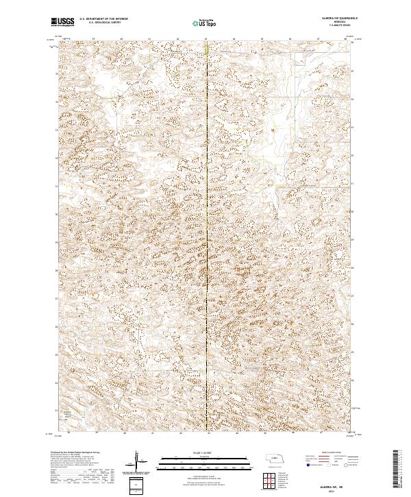
2021 Map of Almeria SW
USGS Topo · Published 2021About this map
Dry Valley defines the northern reaches of this landscape along the border of Blaine Co and Loup Co. The terrain is characterized by a sparse network of section-line and ranch roads that traverse the sandhills of central Nebraska. To the southwest, the McMillan Ranch Airport serves as a lone hub of activity in a region otherwise dominated by large-scale agricultural and ranching operations. The road system, including Dog Leg Rd and Madison Square Rd, reflects the rectilinear Township and Range surveying system, providing access to remote sections like t22n r21w and t21n r20w. This topographic study reveals the delicate balance between the arid lowland features and the essential transportation infrastructure required for ranching in the High Plains.
Find a feature on this map
13 named features on this map. Tap any name to fly to it.
Don’t see what you’re looking for? This feature index may not catch every label — zoom into the map to look around manually.
Map Details
Editions of this 2021 Almeria SW Map
This is the sole edition of this map. No revisions or reprints were ever made.
Other maps of this area

1951 · Walworth
USGS Topo · 1:24,000

1951 · Anselmo NE
USGS Topo · 1:24,000

1951 · Milburn
USGS Topo · 1:24,000

1952 · Brewster
USGS Topo · 1:24,000

1952 · Almeria NE
USGS Topo · 1:24,000

1952 · Almeria NW
USGS Topo · 1:24,000

1952 · Almeria SW
USGS Topo · 1:24,000

1952 · Brewster SE
USGS Topo · 1:24,000

1952 · Almeria
USGS Topo · 1:24,000

1955 · Broken Bow
USGS Topo · 1:250,000