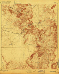
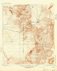
1895 Map of Alpine
USGS Topo · Published 1916About this map
Isolated cattle ranches and high desert peaks define the Trans-Pecos landscape of West Texas during this late nineteenth-century survey. The town of Alpine serves as the primary hub, situated where the Galveston Harrisburg and San Antonio railroad cuts through the mountains. This rail corridor was essential for the region's ranching economy, connecting remote outposts like Toronto and Paisano to wider markets.
Find a feature on this map
35 named features on this map. Tap any name to fly to it.
Don’t see what you’re looking for? This feature index may not catch every label — zoom into the map to look around manually.
Map Details
Editions of this 1895 Alpine Map
6 editions found
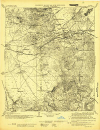
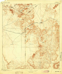
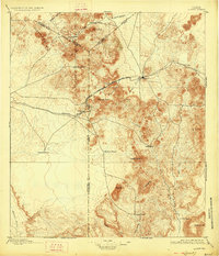
Other maps of this area

1894 · Valentine
USGS Topo · 1:125,000

1894 · Fort Davis
USGS Topo · 1:125,000

1895 · Marfa
USGS Topo · 1:125,000

1895 · Alpine
USGS Topo · 1:125,000

1896 · Shafter
USGS Topo · 1:125,000

1897 · Valentine
USGS Topo · 1:125,000

1897 · Fort Davis
USGS Topo · 1:125,000

1917 · Santiago Peak
USGS Topo · 1:62,500

1917 · Buck Hill
USGS Topo · 1:62,500

1918 · Bone Spring
USGS Topo · 1:125,000