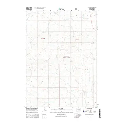
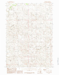
2015 Map of Alta Creek
USGS Topo · Published 2015About this map
Thunder Basin National Grassland dominates this high plains landscape in Converse County, where the intricate drainages of the Dry Fork Cheyenne River and Alta Cr carve through the open range. The 2015 topography reveals a sparsely populated terrain defined by its natural watercourses and named landforms like the broad Dilts Flat and the evocative Calamity Gulch in the eastern reaches. The map detail reflects the Public Land Survey System structure, showing township and range divisions including t39n r72w and t38n r71w. This survey is particularly useful for understanding contemporary grazing lands and the preserved hydrological network of Lonetree Cr and Bear Cr within the federal grassland system.
Find a feature on this map
11 named features on this map. Tap any name to fly to it.
Don’t see what you’re looking for? This feature index may not catch every label — zoom into the map to look around manually.
Map Details
Editions of this 2015 Alta Creek Map
This is the sole edition of this map. No revisions or reprints were ever made.
Other maps of this area

1955 · Newcastle
USGS Topo · 1:250,000

1958 · Newcastle
USGS Topo · 1:250,000

1959 · Bill
USGS Topo · 1:62,500

1959 · Betty Reservoir
USGS Topo · 1:62,500

1959 · Coal Draw
USGS Topo · 1:62,500
1959 · Highland Flats
USGS Topo · 1:62,500

1979 · Bill
USGS Topo · 1:100,000
1984 · Dugout Creek North
USGS Topo · 1:24,000
1984 · Coal Draw North
USGS Topo · 1:24,000
1984 · Patsy Draw
USGS Topo · 1:24,000