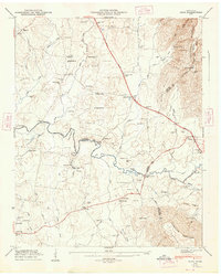
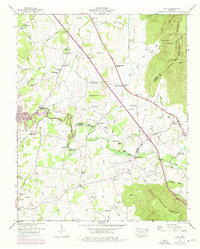
1947 Map of Alto
USGS Topo · Published 1948About this map
The Cumberland Escarpment dominates the eastern edge of this 1940s landscape, where the plateau drops sharply into the coves of the Elk River valley. This area, spanning the intersection of Coffee, Grundy, and Franklin counties, reveals a traditional Southern agrarian layout centered on small community hubs like Alto and Pelham. Travel and trade are defined by historical crossings such as Dabbs Ford Bridge and Rutledge Ford, alongside the more modern path of the Dixie Highway.
Find a feature on this map
97 named features on this map. Tap any name to fly to it.
Don’t see what you’re looking for? This feature index may not catch every label — zoom into the map to look around manually.
Map Details
Editions of this 1947 Alto Map
8 editions found
Other maps of this area

1895 · Sewanee
USGS Topo · 1:125,000

1928 · Decherd
USGS Topo · 1:62,500

1936 · Sewanee
USGS Topo · 1:24,000

1936 · Alto
USGS Topo · 1:24,000

1936 · Manchester
USGS Topo · 1:24,000

1936 · Burrow Cove
USGS Topo · 1:24,000

1936 · Monteagle
USGS Topo · 1:24,000

1936 · Winchester
USGS Topo · 1:24,000

1936 · Hillsboro
USGS Topo · 1:24,000

1936 · Capitol Hill
USGS Topo · 1:24,000