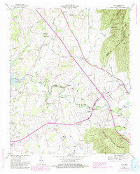
1947 Map of Alto
USGS Topo · Published 1993About this map
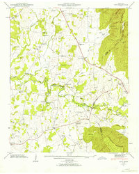
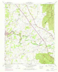
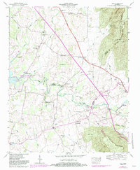
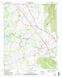
Arnold Air Force Base dominates the western landscape of this mid-century survey, a sprawling military installation established just years before these records were field-checked in 1947. The base encompasses the Woods Reservoir and stretches across Negro Bottom near the Elk River. To the east, the terrain rises sharply toward the Cumberland Escarpment, where landmarks like Petty Point and Pull Tight Hill overlook the agricultural valleys below.
Find a feature on this map
73 named features on this map. Tap any name to fly to it.
Don’t see what you’re looking for? This feature index may not catch every label — zoom into the map to look around manually.
Map Details
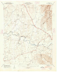
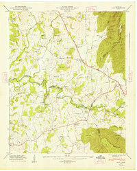
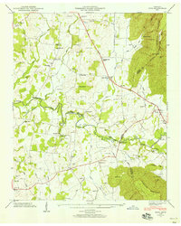
Editions of this 1947 Alto Map
8 editions found
Other maps of this area

1895 · Sewanee
USGS Topo · 1:125,000

1928 · Decherd
USGS Topo · 1:62,500

1936 · Sewanee
USGS Topo · 1:24,000

1936 · Alto
USGS Topo · 1:24,000

1936 · Manchester
USGS Topo · 1:24,000

1936 · Burrow Cove
USGS Topo · 1:24,000

1936 · Monteagle
USGS Topo · 1:24,000

1936 · Winchester
USGS Topo · 1:24,000

1936 · Hillsboro
USGS Topo · 1:24,000

1936 · Capitol Hill
USGS Topo · 1:24,000