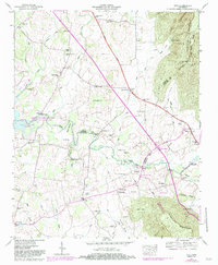
1947 Map of Alto
USGS Topo · Published 1983About this map
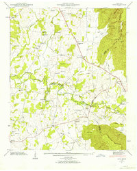
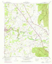
Cumberland Escarpment looms over this 1947 landscape at the intersection of Coffee, Franklin, and Grundy counties. The terrain is characterized by the sudden elevation changes from the flatlands of Dickey Bottom to the high ridges of Caldwell Ridge, with the Elk River and its many tributaries, such as Beans Creek and Bradley Creek, carving through the valleys. The 1983 revision captures the significant impact of the Woods Reservoir on the western edge, along with the Arnold Air Force Station and its dedicated wildlife management area.
Find a feature on this map
84 named features on this map. Tap any name to fly to it.
Don’t see what you’re looking for? This feature index may not catch every label — zoom into the map to look around manually.
Map Details
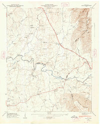
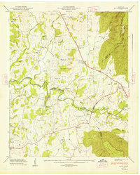
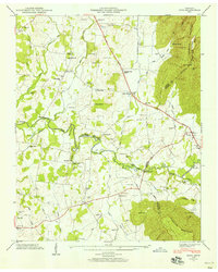
Editions of this 1947 Alto Map
8 editions found
Other maps of this area

1895 · Sewanee
USGS Topo · 1:125,000

1928 · Decherd
USGS Topo · 1:62,500

1936 · Sewanee
USGS Topo · 1:24,000

1936 · Alto
USGS Topo · 1:24,000

1936 · Manchester
USGS Topo · 1:24,000

1936 · Burrow Cove
USGS Topo · 1:24,000

1936 · Monteagle
USGS Topo · 1:24,000

1936 · Winchester
USGS Topo · 1:24,000

1936 · Hillsboro
USGS Topo · 1:24,000

1936 · Capitol Hill
USGS Topo · 1:24,000