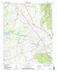
1947 Map of Alto
USGS Topo · Published 1983About this map
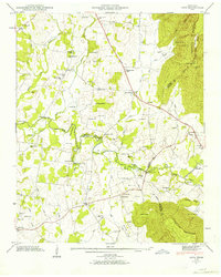
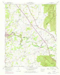
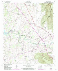
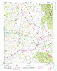
The Cumberland Escarpment looms over the eastern edge of this landscape, where the plateau drops sharply into the fertile lowlands of the Elk River basin. Originally mapped in the late 1940s, the terrain shows a dense network of family-named cemeteries and rural institutions that define the social fabric of settlements like Pelham, Alto, and Prairie Plains. The presence of the Arnold Air Force Station Wildlife Management Area and the Woods Reservoir indicates the mid-century transition toward federal land management and water control. Transport history is anchored by the Dixie Highway and traditional river crossings such as Dabbs Ford Bridge and Rutledge Ford, which served as vital connectors before modern infrastructure bypassed these local routes. The map is particularly rich for genealogists, detailing dozens of small family burial grounds including the Cash Cem, Ooley Cem, and Partin Cem scattered across the Pelham Valley.
Find a feature on this map
82 named features on this map. Tap any name to fly to it.
Don’t see what you’re looking for? This feature index may not catch every label — zoom into the map to look around manually.
Map Details
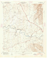
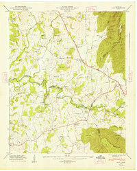
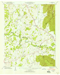
Editions of this 1947 Alto Map
8 editions found
Other maps of this area

1895 · Sewanee
USGS Topo · 1:125,000

1928 · Decherd
USGS Topo · 1:62,500

1936 · Sewanee
USGS Topo · 1:24,000

1936 · Alto
USGS Topo · 1:24,000

1936 · Manchester
USGS Topo · 1:24,000

1936 · Burrow Cove
USGS Topo · 1:24,000

1936 · Monteagle
USGS Topo · 1:24,000

1936 · Winchester
USGS Topo · 1:24,000

1936 · Hillsboro
USGS Topo · 1:24,000

1936 · Capitol Hill
USGS Topo · 1:24,000