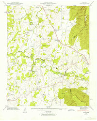
1947 Map of Alto
USGS Topo · Published 1964About this map
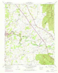
The Elk River meanders through the heart of this post-war landscape, marking the transition between the valley floor and the towering Cumberland Escarpment to the east. This 1947 field examination captures a network of small agricultural communities like Pelham, Alto, and Prairie Plains before modern development altered their rural character. The map is particularly rich in genealogical data, noting dozens of family-named cemeteries such as Cash Cem, Wileman Cem, and Ooley Cem. Transportation patterns are anchored by the Dixie Highway, while historical river crossings like Rutledge Ford and the Dabbs Ford Bridge illustrate how locals navigated the river's winding path. Education and faith were clearly central to the area, evidenced by landmarks like the Thompson Hall School and Turner Chapel.
Find a feature on this map
82 named features on this map. Tap any name to fly to it.
Don’t see what you’re looking for? This feature index may not catch every label — zoom into the map to look around manually.
Map Details
Editions of this 1947 Alto Map
8 editions found
Other maps of this area

1895 · Sewanee
USGS Topo · 1:125,000

1928 · Decherd
USGS Topo · 1:62,500

1936 · Sewanee
USGS Topo · 1:24,000

1936 · Alto
USGS Topo · 1:24,000

1936 · Manchester
USGS Topo · 1:24,000

1936 · Burrow Cove
USGS Topo · 1:24,000

1936 · Monteagle
USGS Topo · 1:24,000

1936 · Winchester
USGS Topo · 1:24,000

1936 · Hillsboro
USGS Topo · 1:24,000

1936 · Capitol Hill
USGS Topo · 1:24,000