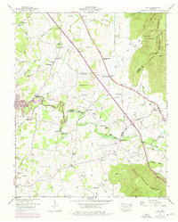
1947 Map of Alto
USGS Topo · Published 1976About this map
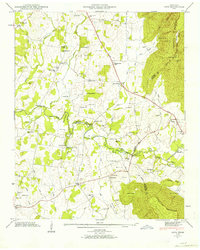
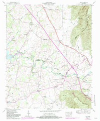
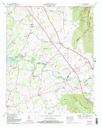
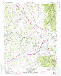
The Arnold Engineering Development Center dominates the western landscape of this mid-century survey, bordering the extensive waters of Woods Reservoir. This military and technological footprint contrasts with the surrounding rural landscape where small settlements like Prairie Plains and Alto remain centered around local institutions. The map reveals a dense network of family history markers, including dozens of small burial grounds such as Gipson Cem and Reynolds Cem, and local schools like Morris Sch and the Thompson Hall School. Along the Elk River, crossing points such as the Patterson Ford Bridge and the Dabbs Ford Bridge indicate long-standing transportation patterns. To the east, the terrain rises sharply at the Cumberland Escarpment, marked by distinctive landmarks like Pull Tight Hill and Wild Boar Bluff.
Find a feature on this map
94 named features on this map. Tap any name to fly to it.
Don’t see what you’re looking for? This feature index may not catch every label — zoom into the map to look around manually.
Map Details
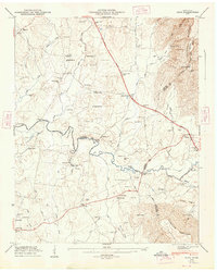
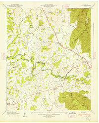
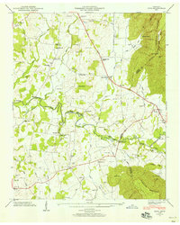
Editions of this 1947 Alto Map
8 editions found
Other maps of this area

1895 · Sewanee
USGS Topo · 1:125,000

1928 · Decherd
USGS Topo · 1:62,500

1936 · Sewanee
USGS Topo · 1:24,000

1936 · Alto
USGS Topo · 1:24,000

1936 · Manchester
USGS Topo · 1:24,000

1936 · Burrow Cove
USGS Topo · 1:24,000

1936 · Monteagle
USGS Topo · 1:24,000

1936 · Winchester
USGS Topo · 1:24,000

1936 · Hillsboro
USGS Topo · 1:24,000

1936 · Capitol Hill
USGS Topo · 1:24,000