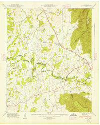
1947 Map of Alto
USGS Topo · Published 1948About this map
The Cumberland Escarpment rises sharply along the eastern edge of this 1947 survey, overlooking a landscape defined by the winding course of the Elk River. This territory at the meeting of Coffee, Franklin, and Grundy counties shows a deeply rooted rural infrastructure of small farming communities and family settlements. The Dixie Highway serves as the primary north-south artery, passing through Pelham and near numerous rural institutions like the Thompson Hall School and Mt Nebo Ch.
Find a feature on this map
88 named features on this map. Tap any name to fly to it.
Don’t see what you’re looking for? This feature index may not catch every label — zoom into the map to look around manually.
Map Details
Editions of this 1947 Alto Map
8 editions found
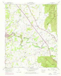
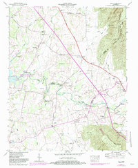
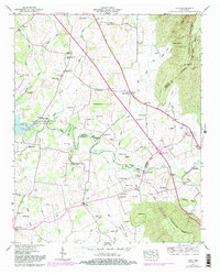
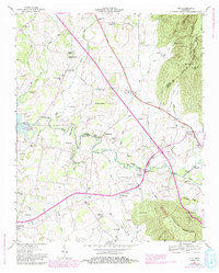
Other maps of this area

1895 · Sewanee
USGS Topo · 1:125,000

1928 · Decherd
USGS Topo · 1:62,500

1936 · Sewanee
USGS Topo · 1:24,000

1936 · Alto
USGS Topo · 1:24,000

1936 · Manchester
USGS Topo · 1:24,000

1936 · Burrow Cove
USGS Topo · 1:24,000

1936 · Monteagle
USGS Topo · 1:24,000

1936 · Winchester
USGS Topo · 1:24,000

1936 · Hillsboro
USGS Topo · 1:24,000

1936 · Capitol Hill
USGS Topo · 1:24,000