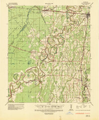
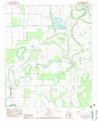
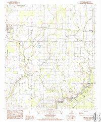
1935 Map of Alto
USGS Topo · Published 1936This historical map portrays the area of Alto in 1935, primarily covering Richland Parish as well as portions of Ouachita Parish, Caldwell Parish, and Franklin Parish. Featuring a scale of 1:62500, this map provides a highly detailed snapshot of the terrain, roads, buildings, counties, and historical landmarks in the Alto region at the time. Published in 1936, it is one of 2 known editions of this map due to revisions or reprints.
Find a feature on this map
63 named features on this map. Tap any name to fly to it.
Don’t see what you’re looking for? This feature index may not catch every label — zoom into the map to look around manually.
Map Details
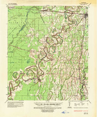
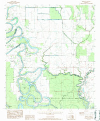
Editions of this 1935 Alto Map
2 editions found
Historical Maps of Monroe Through Time
10 maps found
1935 Alto
Richland Parish, LA

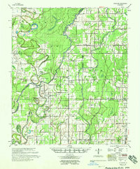
1935 Hurricane
Richland Parish, LA
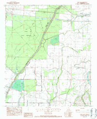
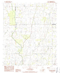
1958 Hurricane
Richland Parish, LA
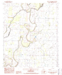
1982 Crew Lake
Richland Parish, LA
1982 Gilleyville
Richland Parish, LA
1983 Hebert
Richland Parish, LA
1986 Congo Creek
Richland Parish, LA
1986 Whitney Island South
Richland Parish, LA
1987 Bee Bayou
Richland Parish, LA

1987 Dunn
Richland Parish, LA