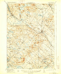
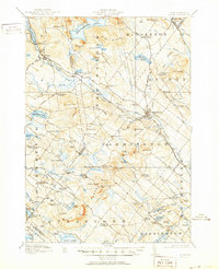
1919 Map of Alton
USGS Topo · Published 1929About this map
Alton Bay serves as a prominent recreational and transport hub at the southeastern tip of Lake Winnepesaukee, where the Boston and Maine railroad line terminates. This late-1910s survey reveals a landscape defined by industrial development in Farmington and agricultural clusters at various "corners" such as Middleton Corners and Meaderboro Corner. The interior terrain is dominated by the Birch Ridge and peaks like Blue Job Mtn, while the water network is anchored by Merrymeeting Lake and Bow Lake.
Find a feature on this map
109 named features on this map. Tap any name to fly to it.
Don’t see what you’re looking for? This feature index may not catch every label — zoom into the map to look around manually.
Map Details
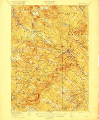
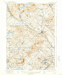
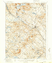
Editions of this 1919 Alton Map
6 editions found

Other maps of this area

1891 · Berwick
USGS Topo · 1:62,500

1891 · Newfield
USGS Topo · 1:62,500

1893 · Dover
USGS Topo · 1:62,500

1893 · Berwick
USGS Topo · 1:62,500

1893 · Newfield
USGS Topo · 1:62,500

1909 · Winnepesaukee
USGS Topo · 1:62,500

1916 · Dover
USGS Topo · 1:62,500

1917 · Mt. Pawtuckaway
USGS Topo · 1:62,500

1918 · Dover
USGS Topo · 1:62,500

1919 · Mt. Pawtuckaway
USGS Topo · 1:62,500