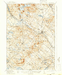
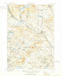
1919 Map of Alton
USGS Topo · Published 1942About this map
Alton Bay sits at the southernmost tip of Lake Winnipesaukee, serving as a primary hub for this New Hampshire landscape just after the turn of the century. The Boston and Maine railroad line defines the local economy, cutting through Alton and New Durham before heading east toward Farmington. The terrain is dominated by the Blue Hills Range and prominent heights like Prospect Mtn and Whitehouse Mtn, which separate the river valleys.
Find a feature on this map
116 named features on this map. Tap any name to fly to it.
Don’t see what you’re looking for? This feature index may not catch every label — zoom into the map to look around manually.
Map Details
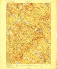
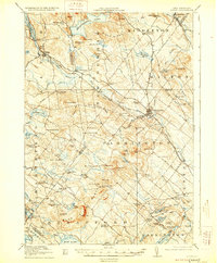
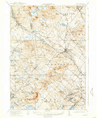
Editions of this 1919 Alton Map
6 editions found

Other maps of this area

1891 · Berwick
USGS Topo · 1:62,500

1891 · Newfield
USGS Topo · 1:62,500

1893 · Dover
USGS Topo · 1:62,500

1893 · Berwick
USGS Topo · 1:62,500

1893 · Newfield
USGS Topo · 1:62,500

1909 · Winnepesaukee
USGS Topo · 1:62,500

1916 · Dover
USGS Topo · 1:62,500

1917 · Mt. Pawtuckaway
USGS Topo · 1:62,500

1918 · Dover
USGS Topo · 1:62,500

1919 · Mt. Pawtuckaway
USGS Topo · 1:62,500