
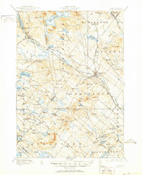
1919 Map of Alton
USGS Topo · Published 1919About this map
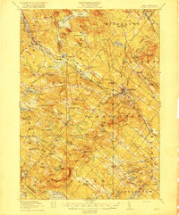
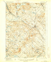
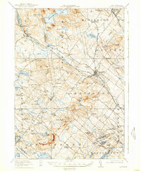
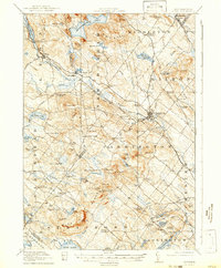
Farmington serves as the primary population center of this 1917 survey, situated along the Cocheco River where the Boston and Maine RR winds through the valley. The landscape is defined by its dramatic ridges and high-altitude lakes, including Merrymeeting Lake and Bow Lake. The distribution of small settlements like Middleton Corners, New Durham, and Center Strafford reflects a network of rural communities connected by historic thoroughfares such as Ten Rod Road and Two Rod Road.
Find a feature on this map
121 named features on this map. Tap any name to fly to it.
Don’t see what you’re looking for? This feature index may not catch every label — zoom into the map to look around manually.
Map Details
Editions of this 1919 Alton Map
6 editions found
Other maps of this area

1891 · Berwick
USGS Topo · 1:62,500

1891 · Newfield
USGS Topo · 1:62,500

1893 · Dover
USGS Topo · 1:62,500

1893 · Berwick
USGS Topo · 1:62,500

1893 · Newfield
USGS Topo · 1:62,500

1909 · Winnepesaukee
USGS Topo · 1:62,500

1916 · Dover
USGS Topo · 1:62,500

1917 · Mt. Pawtuckaway
USGS Topo · 1:62,500

1918 · Dover
USGS Topo · 1:62,500

1919 · Mt. Pawtuckaway
USGS Topo · 1:62,500