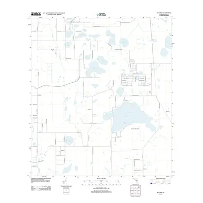
2012 Map of Alturas
USGS Topo · Published 2012About this map
Alturas and the smaller settlement of Wolfolk anchor this portion of the Florida interior, where a dense network of lakes and wetlands dictates the local geography. The landscape is defined by its water bodies, ranging from the expansive Lake Buffum to smaller features like Star Lake, Crystal Lake, and Lake Pembroke. These lakes are connected by a web of rural routes and local roads such as Lake Wales Alturas Rd and Snell Rd, reflecting a region primarily characterized by its natural hydrography and agricultural or residential pockets.
Find a feature on this map
107 named features on this map. Tap any name to fly to it.
Don’t see what you’re looking for? This feature index may not catch every label — zoom into the map to look around manually.
Map Details
Editions of this 2012 Alturas Map
This is the sole edition of this map. No revisions or reprints were ever made.
Other maps of this area
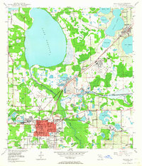
1949 · Bartow
USGS Topo · 1:24,000
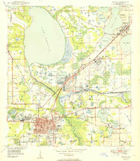
1950 · Bartow
USGS Topo · 1:24,000
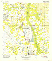
1952 · Homeland
USGS Topo · 1:24,000
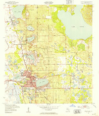
1952 · Lake Wales
USGS Topo · 1:24,000
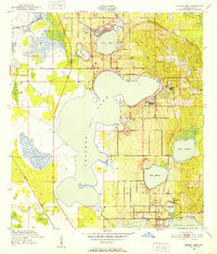
1952 · Babson Park
USGS Topo · 1:24,000
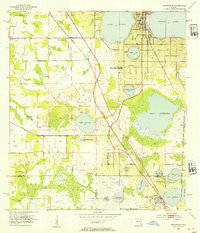
1953 · Frostproof
USGS Topo · 1:24,000
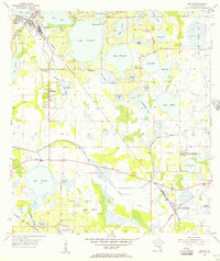
1955 · Eloise
USGS Topo · 1:24,000
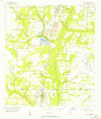
1955 · Bowling Green
USGS Topo · 1:24,000
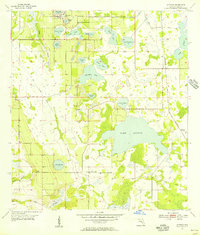
1955 · Alturas
USGS Topo · 1:24,000
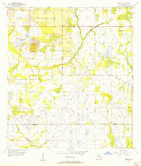
1956 · Bereah
USGS Topo · 1:24,000