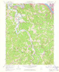
1958 Map of Alum Creek
USGS Topo · Published 1973About this map
The Coal River winds through a landscape of steep hollows and narrow ridges in this mid-century survey of the West Virginia hill country. Near the northern border, the industrial presence of Saint Albans and South Charleston meets the Kanawha River, while the southern reaches of the map track the river’s serpentine path toward Sproul. A network of rural schools and small churches, such as Andrews Heights Sch and Browns Chapel, serves the scattered communities that grew along the riverbanks and rail lines.
Find a feature on this map
58 named features on this map. Tap any name to fly to it.
Don’t see what you’re looking for? This feature index may not catch every label — zoom into the map to look around manually.
Map Details
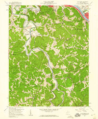
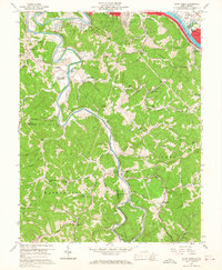
Editions of this 1958 Alum Creek Map
3 editions found
Other maps of this area

1899 · Charleston
USGS Topo · 1:125,000

1909 · Charleston
USGS Topo · 1:62,500

1909 · Peytona
USGS Topo · 1:48,000

1909 · Saint Albans
USGS Topo · 1:62,500

1911 · Peytona
USGS Topo · 1:62,500

1911 · Madison
USGS Topo · 1:62,500

1929 · Madison
USGS Topo · 1:62,500

1929 · Peytona
USGS Topo · 1:62,500

1931 · Madison
USGS Topo · 1:62,500

1931 · Saint Albans
USGS Topo · 1:62,500