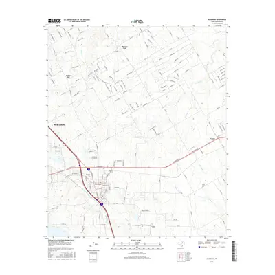
2016 Map of Alvarado
USGS Topo · Published 2016About this map
Alvarado serves as the central hub of this Johnson County landscape, where the confluence of major transportation corridors shapes the modern geography. The area's history is preserved in several burial grounds, including Glenwood Cem near the town center and the more rural Cahill Cem and Duke Cem to the north and south. The terrain is defined by a dense network of drainage, with N Fork Chambers Cr winding through the southern half and Mountain Creek cutting across the central plains. Smaller community markers like Pleasant Point and Happy Hill indicate long-standing local settlements, while the presence of Goodlett Field reflects the region's aviation infrastructure. The map documents a blend of established residential grids and vast agricultural reaches, connected by an intricate web of county roads and named lanes such as Karens Corner and Vista Ridge Ln.
Find a feature on this map
154 named features on this map. Tap any name to fly to it.
Don’t see what you’re looking for? This feature index may not catch every label — zoom into the map to look around manually.
Map Details
Editions of this 2016 Alvarado Map
This is the sole edition of this map. No revisions or reprints were ever made.
Other maps of this area

1891 · Cleburne
USGS Topo · 1:125,000

1894 · Cleburne
USGS Topo · 1:125,000

1894 · Fort Worth
USGS Topo · 1:125,000

1954 · Dallas
USGS Topo · 1:250,000

1955 · Burleson
USGS Topo · 1:24,000

1958 · Dallas
USGS Topo · 1:250,000

1959 · Britton
USGS Topo · 1:24,000

1959 · Mansfield
USGS Topo · 1:24,000
1959 · Arlington
USGS Topo · 1:62,500

1960 · Keene
USGS Topo · 1:24,000