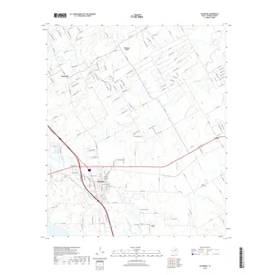
2019 Map of Alvarado
USGS Topo · Published 2019About this map
Alvarado serves as the primary hub in this Johnson County landscape, where the confluence of major regional thoroughfares and watercourses like N Fork Chambers Cr dictates the local geography. The map captures a modern view of several established communities, including Venus to the east and the smaller settlements of Pleasant Point and Happy Hill to the north. For those researching family history, the presence of Cahill Cem, Glenwood Cem, and Center League Cem provides specific points for genealogical study. The terrain is defined by a dendritic network of streams such as Mountain Cr, Fish Spring Br, and Cottonwood Cr, which have historically shaped the development of these Texas plains. The intricate grid of county roads and farm-to-market routes shown here illustrates how contemporary infrastructure has layered over the original rural settlements.
Find a feature on this map
153 named features on this map. Tap any name to fly to it.
Don’t see what you’re looking for? This feature index may not catch every label — zoom into the map to look around manually.
Map Details
Editions of this 2019 Alvarado Map
This is the sole edition of this map. No revisions or reprints were ever made.
Other maps of this area

1891 · Cleburne
USGS Topo · 1:125,000

1894 · Cleburne
USGS Topo · 1:125,000

1894 · Fort Worth
USGS Topo · 1:125,000

1954 · Dallas
USGS Topo · 1:250,000

1955 · Burleson
USGS Topo · 1:24,000

1958 · Dallas
USGS Topo · 1:250,000

1959 · Britton
USGS Topo · 1:24,000

1959 · Mansfield
USGS Topo · 1:24,000
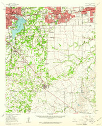
1959 · Arlington
USGS Topo · 1:62,500

1960 · Keene
USGS Topo · 1:24,000