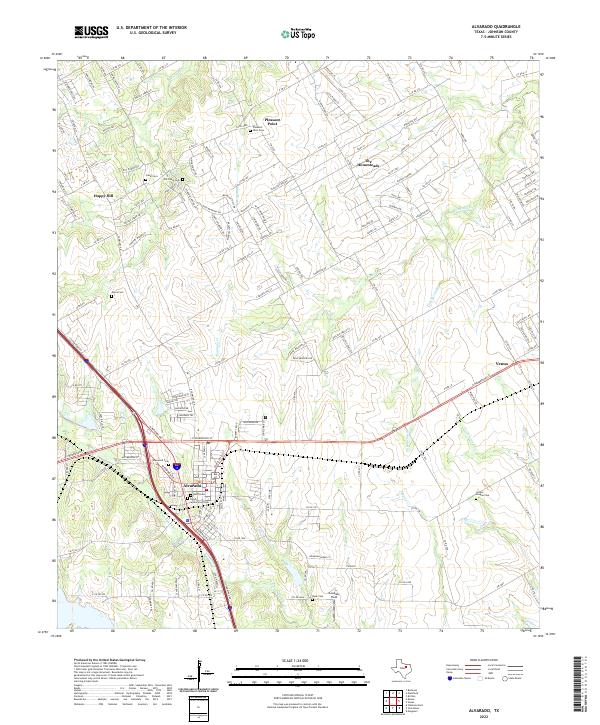
2022 Map of Alvarado
USGS Topo · Published 2022About this map
Alvarado and the eastern edge of Venus anchor this region of North Texas, where the landscape transitions into a series of residential developments and rural homesteads. The terrain is defined by the branching tributaries of N Fork Chambers Cr and Mountain Creek, which carve through the countryside alongside numerous family-named and community cemeteries. For genealogists, the map is remarkably dense with burial sites, including the Old Cahill Cem and Balch-Senterwood Cem near the town centers, as well as the more remote Duke Cem and Center League Cem.
Find a feature on this map
67 named features on this map. Tap any name to fly to it.
Don’t see what you’re looking for? This feature index may not catch every label — zoom into the map to look around manually.
Map Details
Editions of this 2022 Alvarado Map
This is the sole edition of this map. No revisions or reprints were ever made.
Other maps of this area

1891 · Cleburne
USGS Topo · 1:125,000

1894 · Cleburne
USGS Topo · 1:125,000

1894 · Fort Worth
USGS Topo · 1:125,000

1954 · Dallas
USGS Topo · 1:250,000

1955 · Burleson
USGS Topo · 1:24,000

1958 · Dallas
USGS Topo · 1:250,000

1959 · Britton
USGS Topo · 1:24,000

1959 · Mansfield
USGS Topo · 1:24,000
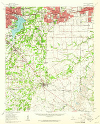
1959 · Arlington
USGS Topo · 1:62,500

1960 · Keene
USGS Topo · 1:24,000