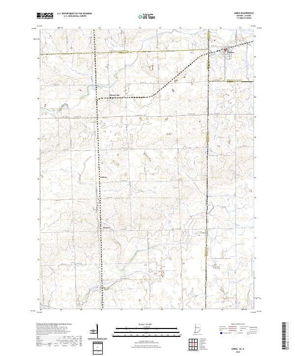
2022 Map of Ambia
USGS Topo · Published 2022About this map
The town of Ambia sits at a critical geographic junction on the Indiana-Illinois border, where Benton County meets Warren and Vermilion counties. This rural landscape is defined by the headwaters of the N Fork Vermilion River and its tributary, the Middle Br N Fork Vermilion River, which weave through a network of section roads and drainage features like the Prudential Ditch. The map details a series of small, historically connected settlements along the county line and rail corridor, including Cheneyville, Coalton, and Heaton. These locations reflect the agricultural and transit-oriented development patterns typical of the borderlands between the two states. The convergence of numerous county roads, such as Co HWY 24 and S State Rd 352, highlights the enduring importance of Ambia as a local hub for the surrounding farming communities.
Find a feature on this map
60 named features on this map. Tap any name to fly to it.
Don’t see what you’re looking for? This feature index may not catch every label — zoom into the map to look around manually.
Map Details
Editions of this 2022 Ambia Map
This is the sole edition of this map. No revisions or reprints were ever made.
Other maps of this area

1933 · Hoopeston
USGS Topo · 1:48,000

1938 · Milford
USGS Topo · 1:48,000

1938 · Hoopeston
USGS Topo · 1:62,500

1944 · Milford
USGS Topo · 1:62,500

1953 · Danville
USGS Topo · 1:250,000

1955 · Danville
USGS Topo · 1:250,000

1956 · Danville
USGS Topo · 1:250,000

1961 · Tab
USGS Topo · 1:24,000

1961 · West Lebanon
USGS Topo · 1:24,000

1962 · Boswell
USGS Topo · 1:24,000