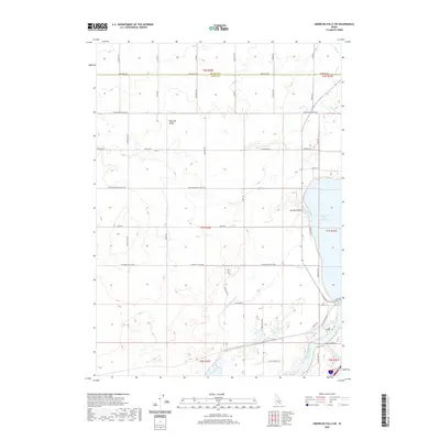
2020 Map of American Falls SW
USGS Topo · Published 2020About this map
Pleasant Valley sits at the heart of this landscape along the border of Bingham and Power counties, where the high desert meets the irrigated plains of southern Idaho. The eastern edge of the survey is dominated by the American Falls Reservoir and the Snake River, which support a complex network of water management features including the Highline Canal and several irrigation laterals such as Lateral P and Lateral R. The terrain is characterized by depressions and draws like Spring Hollow and Ferry Hollow, while the presence of Davis Springs and Rueger Springs near the riverbank indicates the region's natural groundwater sources.
Find a feature on this map
57 named features on this map. Tap any name to fly to it.
Don’t see what you’re looking for? This feature index may not catch every label — zoom into the map to look around manually.
Map Details
Editions of this 2020 American Falls SW Map
This is the sole edition of this map. No revisions or reprints were ever made.
Other maps of this area

1934 · American Falls
USGS Topo · 1:62,500

1934 · Rockland
USGS Topo · 1:62,500

1936 · American Falls
USGS Topo · 1:62,500

1937 · Rockland
USGS Topo · 1:62,500

1954 · Pocatello
USGS Topo · 1:250,000

1958 · Pocatello
USGS Topo · 1:250,000

1959 · Yale
USGS Topo · 1:62,500
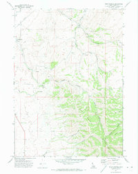
1971 · Indian Springs
USGS Topo · 1:24,000
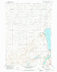
1971 · American Falls SW
USGS Topo · 1:24,000
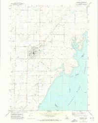
1971 · Aberdeen
USGS Topo · 1:24,000