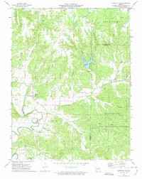
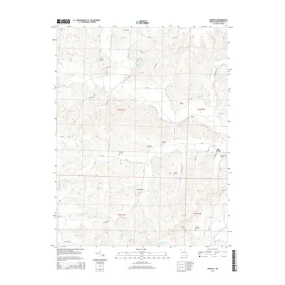
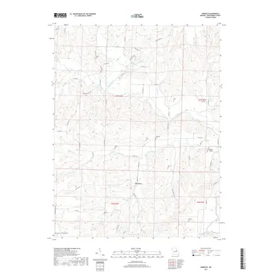
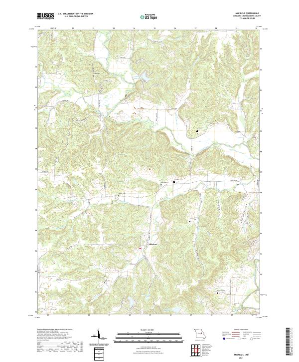
1974 Map of Americus
USGS Topo · Published 1986About this map
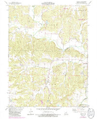
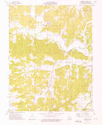
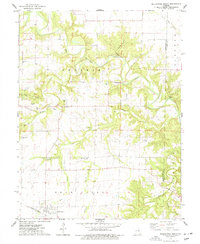
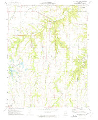
Americus anchors this mid-1970s topographic study of the Loutre River valley, an area defined by its dense network of small family cemeteries and seasonal drainage branches. The landscape is heavily marked by rural genealogy, featuring numerous burial grounds such as Bryant Cem, Hunter Cem, and Bush Cem scattered among the uplands. The Loutre River and its many tributaries, including Pinch Creek, Dishwater Creek, and Marrow Branch, dictate the settlement pattern, which is predominantly agricultural with pockets of industrial activity like the Claypit in the southwest corner.
Find a feature on this map
32 named features on this map. Tap any name to fly to it.
Don’t see what you’re looking for? This feature index may not catch every label — zoom into the map to look around manually.
Map Details
Editions of this 1974 Americus Map
2 editions found
Historical Maps of Americus Through Time
20 maps found
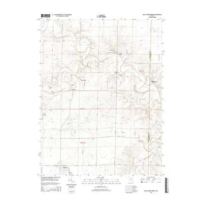
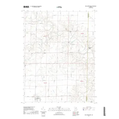
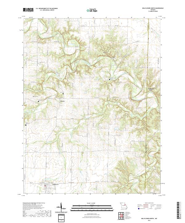
1973 Bellflower North
Montgomery County, MO
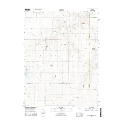
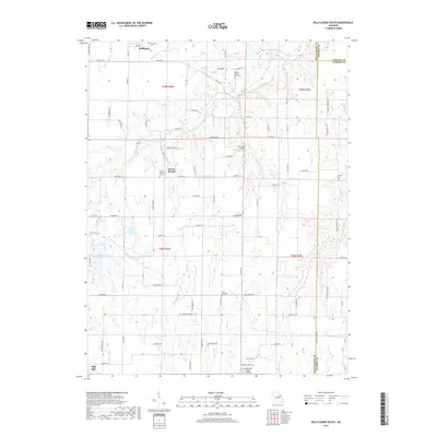
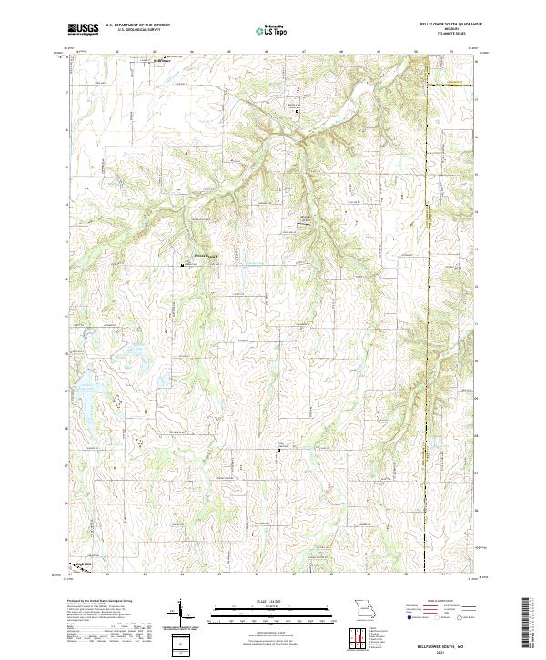
1973 Bellflower South
Montgomery County, MO
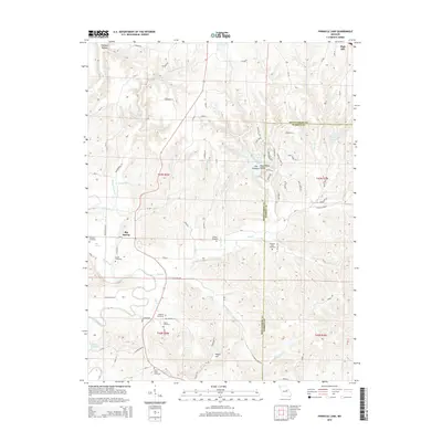
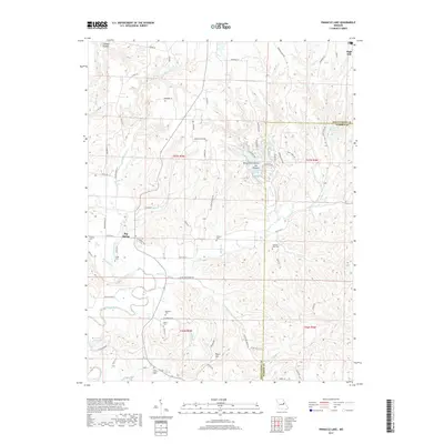
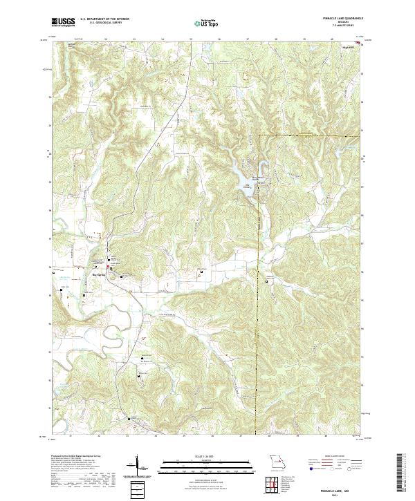
1973 Pinnacle Lake
Montgomery County, MO
1974 Americus
Montgomery County, MO
2012 Americus
Montgomery County, MO
2012 Bellflower North
Montgomery County, MO
2012 Bellflower South
Montgomery County, MO
2012 Pinnacle Lake
Montgomery County, MO
2014 Bellflower North
Montgomery County, MO
2015 Americus
Montgomery County, MO
2015 Bellflower South
Montgomery County, MO
2015 Pinnacle Lake
Montgomery County, MO
2017 Americus
Montgomery County, MO
2017 Bellflower North
Montgomery County, MO
2017 Bellflower South
Montgomery County, MO
2017 Pinnacle Lake
Montgomery County, MO
2021 Americus
Montgomery County, MO
2021 Bellflower North
Montgomery County, MO
2021 Bellflower South
Montgomery County, MO
2021 Pinnacle Lake
Montgomery County, MO