
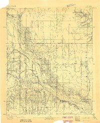
1893 Map of Ames
USGS Topo · Published 1893About this map
Cimarron River dominates this landscape, its wide, braided channel carving through the central territory during a period of early territorial survey. The terrain is marked by significant hydrological activity, with Hoyle Creek and Spring Creek feeding into the river system. Early settlements like Lacey, Parvin, and Cato appear as small hubs in a region defined more by its natural topography than its urban development.
Find a feature on this map
14 named features on this map. Tap any name to fly to it.
Don’t see what you’re looking for? This feature index may not catch every label — zoom into the map to look around manually.
Map Details
Editions of this 1893 Ames Map
2 editions found
Other maps of this area

1892 · Kingfisher
USGS Topo · 1:125,000

1893 · Hennessey
USGS Topo · 1:62,500

1893 · Loyal
USGS Topo · 1:62,500

1895 · Kingfisher
USGS Topo · 1:125,000

1954 · Oklahoma City
USGS Topo · 1:250,000

1955 · Clinton
USGS Topo · 1:250,000

1955 · Enid
USGS Topo · 1:250,000

1955 · Woodward
USGS Topo · 1:250,000

1956 · Ames
USGS Topo · 1:62,500

1956 · Hennessey
USGS Topo · 1:62,500