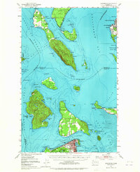
1951 Map of Anacortes
USGS Topo · Published 1965About this map
Anacortes and its bustling Capsante Waterway anchor this mid-century survey of the northern San Juan Islands. The map documents a period when maritime commerce and seasonal tourism shaped the coast, evidenced by establishments like Loganita Lodge and The Willows on Lummi Island. To the north, the Lummi Indian Reservation occupies the peninsula and northern reaches of the island, separated by the narrow waters of Hale Passage.
Find a feature on this map
86 named features on this map. Tap any name to fly to it.
Don’t see what you’re looking for? This feature index may not catch every label — zoom into the map to look around manually.
Map Details
Editions of this 1951 Anacortes Map
2 editions found

Other maps of this area
1906 · Sumas
USGS Topo · 1:62,500
1907 · Blaine
USGS Topo · 1:62,500
1908 · Sumas
USGS Topo · 1:62,500

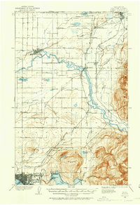
1911 · Mount Vernon
USGS Topo · 1:125,000

1918 · Samish Lake
USGS Topo · 1:62,500

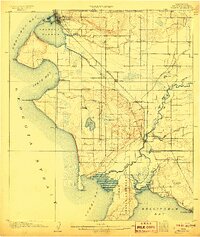
1940 · Mt Vernon
USGS Topo · 1:62,500

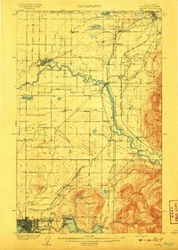
1943 · Mt Vernon
USGS Topo · 1:62,500

1943 · Richardson
USGS Topo · 1:62,500

1943 · Orcas Island
USGS Topo · 1:62,500

1943 · Deception Pass
USGS Topo · 1:62,500