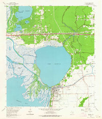
1961 Map of Anahuac
USGS Topo · Published 1964About this map
The Trinity River delta and the expansive Lake Anahuac dominate this 1961 revision, where the marshlands of the upper Trinity Bay meet the coastal prairie. The settlement of Anahuac serves as the focal point, situated at the southern terminus of the lake and featuring the Chambers Memorial Hospital and the County Airport. To the north, the community of Wallisville sits near the river's edge, marked by the Wallisville Sch and Middleton Memorial Ch. The map illustrates a landscape transitioning toward industrial activity, evidenced by the Turtle Bayou Oil Field and several pumping stations distributed along the bayous. Numerous small cemeteries like Wiggins Cem and Barrow Cem are scattered across the quadrangle, reflecting the early settlement patterns of the Liberty Co and Chambers Co border region.
Find a feature on this map
54 named features on this map. Tap any name to fly to it.
Don’t see what you’re looking for? This feature index may not catch every label — zoom into the map to look around manually.
Map Details
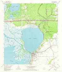
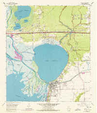
Editions of this 1961 Anahuac Map
3 editions found
Other maps of this area

1942 · Anahuac
USGS Topo · 1:24,000

1943 · West of Eagle
USGS Topo · 1:31,680

1943 · Whites Bayou
USGS Topo · 1:24,000

1950 · Houston
USGS Topo · 1:250,000

1956 · Houston
USGS Topo · 1:250,000
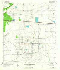
1961 · Monroe City
USGS Topo · 1:24,000
1961 · Umbrella Point
USGS Topo · 1:24,000
1961 · Oak Island
USGS Topo · 1:24,000

1961 · Shiloh
USGS Topo · 1:24,000
1961 · Oyster Bayou
USGS Topo · 1:24,000