
1960 Map of Anchorage A-4
USGS Topo · Published 1964About this map
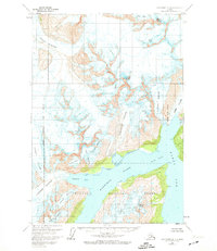
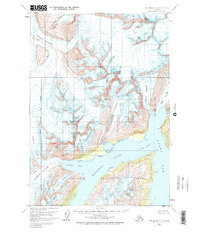
Chugach National Forest encompasses this glacial landscape, where the massive Colony Glacier and Surprise Glacier dominate the coastal topography. The map illustrates a complex network of ice and water, highlighting the convergence of the Serpentine Glacier and Cascade Glacier as they flow toward the deep waters of Harriman Fiord. This 1960 survey, based on aerial photography from 1957, provides a detailed record of shoreline positions and glacier terminuses before subsequent decades of change.
Find a feature on this map
28 named features on this map. Tap any name to fly to it.
Don’t see what you’re looking for? This feature index may not catch every label — zoom into the map to look around manually.
Map Details
Editions of this 1960 Anchorage A-4 Map
3 editions found
Other maps of this area

1951 · Seward
USGS Topo · 1:250,000

1951 · Anchorage
USGS Topo · 1:250,000

1951 · Seward D-5
USGS Topo · 1:63,360

1951 · Seward D-4
USGS Topo · 1:63,360

1951 · Seward D-3
USGS Topo · 1:63,360

1952 · Seward D-5
USGS Topo · 1:63,360

1952 · Seward D-3
USGS Topo · 1:63,360

1952 · Seward D-4
USGS Topo · 1:63,360

1953 · Seward
USGS Topo · 1:250,000

1959 · Seward
USGS Topo · 1:250,000