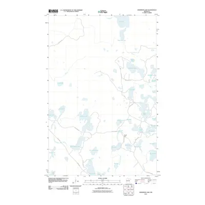
2010 Map of Anderson Lake
USGS Topo · Published 2010About this map
Link Lake Lookout Tower stands as a vertical focal point in this portion of Itasca County, overlooking a complex network of glacial lakes and waterways. The drainage pattern is dominated by the West Fork Prairie River, which connects southern water bodies like Rat Lake and Ann Lake. Local infrastructure is defined by a series of graded routes such as Owen Lake Campground Rd and the appropriately named Scenic Hwy, providing access to numerous small basins including Brush Shanty Lake and Little Antler Lake. Many of these lakes bear distinctive local names like Blind Pete Lake and Napoleon Lake, suggesting a history of seasonal recreation or early settlement. The map illustrates a landscape where land use is secondary to the preservation of natural water resources, with trails like the Lost Lake Trl winding between basins.
Find a feature on this map
41 named features on this map. Tap any name to fly to it.
Don’t see what you’re looking for? This feature index may not catch every label — zoom into the map to look around manually.
Map Details
Editions of this 2010 Anderson Lake Map
This is the sole edition of this map. No revisions or reprints were ever made.
Other maps of this area

1919 · Release
USGS Topo · 1:62,500

1919 · Marcell
USGS Topo · 1:62,500

1943 · Release
USGS Topo · 1:62,500

1954 · Hibbing
USGS Topo · 1:250,000

1957 · Hibbing
USGS Topo · 1:250,000

1958 · Hibbing
USGS Topo · 1:250,000

1964 · Hibbing
USGS Topo · 1:250,000

1970 · Clubhouse Lake
USGS Topo · 1:24,000

1970 · Coon Lake
USGS Topo · 1:24,000

1970 · Deer Lake East
USGS Topo · 1:24,000