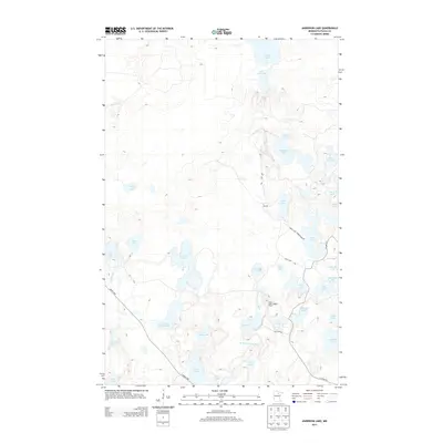
2013 Map of Anderson Lake
USGS Topo · Published 2013About this map
The Link Lake Lookout Tower stands as a focal point in this portion of Itasca County, overlooking a complex lacustrine environment defined by the W Fork Prairie River. This landscape is dense with glacial lakes, from the large expanse of Anderson Lake to smaller, distinct basins like Brush Shanty Lake and Little Antler Lake. The map reveals a remote geography navigated by local routes such as Lynx Lake Rd and Zigs Rd, illustrating the recreational and conservation-oriented land use of the northern woods. Water bodies like O'Donnell Lake and Raddison Lake emphasize the irregular drainage patterns typical of the region, where numerous unnamed wetlands connect larger named lakes through minor streams like Gale Brook.
Find a feature on this map
37 named features on this map. Tap any name to fly to it.
Don’t see what you’re looking for? This feature index may not catch every label — zoom into the map to look around manually.
Map Details
Editions of this 2013 Anderson Lake Map
This is the sole edition of this map. No revisions or reprints were ever made.
Other maps of this area

1919 · Release
USGS Topo · 1:62,500

1919 · Marcell
USGS Topo · 1:62,500

1943 · Release
USGS Topo · 1:62,500

1954 · Hibbing
USGS Topo · 1:250,000

1957 · Hibbing
USGS Topo · 1:250,000

1958 · Hibbing
USGS Topo · 1:250,000

1964 · Hibbing
USGS Topo · 1:250,000

1970 · Clubhouse Lake
USGS Topo · 1:24,000

1970 · Coon Lake
USGS Topo · 1:24,000

1970 · Deer Lake East
USGS Topo · 1:24,000