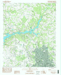
1983 Map of Anderson North
USGS Topo · Published 1983About this map
Hartwell Lake dominates the central landscape of this South Carolina study, its irregular fingers reaching into the surrounding countryside near Denver and Hembree. The northern expansion of Anderson is clearly visible, with residential developments like Evergreen Hills and Centerville bridging the gap between the city center and the rural upstate terrain. Educational institutions are a prominent fixture of the area, ranging from the historic The Anderson Academy and Anderson College to modern facilities such as Hanna High Sch and Westside High Sch.
Find a feature on this map
57 named features on this map. Tap any name to fly to it.
Don’t see what you’re looking for? This feature index may not catch every label — zoom into the map to look around manually.
Map Details
Editions of this 1983 Anderson North Map
2 editions found
Other maps of this area

1888 · Pickens
USGS Topo · 1:125,000

1893 · Elberton
USGS Topo · 1:125,000

1894 · Pickens
USGS Topo · 1:125,000

1950 · La France
USGS Topo · 1:24,000

1951 · La France
USGS Topo · 1:24,000

1951 · Clemson
USGS Topo · 1:24,000

1954 · Greenville
USGS Topo · 1:250,000

1957 · Anderson
USGS Topo · 1:62,500

1958 · Greenville
USGS Topo · 1:250,000

1959 · Hartwell NE
USGS Topo · 1:24,000