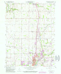
1960 Map of Anderson North
USGS Topo · Published 1988About this map
Alexandria and northern Anderson anchor this mid-century look at the Madison County agricultural and suburban landscape. The era's transportation network is defined by a grid of numbered section roads, such as 1000 North Road, and the prominent Old R R Grade tracing a path through the Monroe and Lafayette townships. The map records the local social fabric through numerous rural institutions, including Wesley Chapel Cem and College Corner Sch. In the southern portion, the urban expansion of North Anderson and Forest Hills is evident, while the U S Naval Reserve Training Center stands as a notable civic landmark. Waterways like Pipe Creek and Killbuck Creek weave through the township boundaries, illustrating the drainage patterns that shaped early settlement in these central Indiana communities.
Find a feature on this map
57 named features on this map. Tap any name to fly to it.
Don’t see what you’re looking for? This feature index may not catch every label — zoom into the map to look around manually.
Map Details
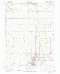
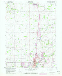
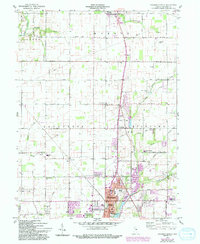
Editions of this 1960 Anderson North Map
5 editions found
Other maps of this area

1952 · Anderson
USGS Topo · 1:24,000

1953 · Lapel
USGS Topo · 1:24,000

1953 · Muncie
USGS Topo · 1:250,000

1956 · Muncie
USGS Topo · 1:250,000

1960 · Gilman
USGS Topo · 1:24,000

1960 · Elwood
USGS Topo · 1:24,000

1960 · Middletown
USGS Topo · 1:24,000

1960 · Alexandria
USGS Topo · 1:24,000

1960 · Gaston
USGS Topo · 1:24,000

1960 · Anderson North
USGS Topo · 1:24,000