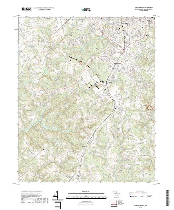
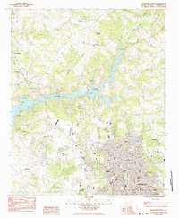
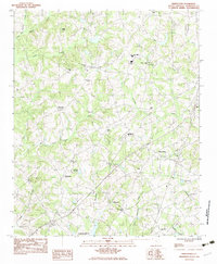
2024 Map of Anderson South
USGS Topo · Published 2024About this map
Anderson and its southern corridors are mapped here at a time of continued regional growth, where the city’s residential expansion meets the historical rural landscape of Anderson County. The southern suburbs, including Homeland Park and Gluck, transition into a network of small settlements like Deans and Starr. A high density of cemeteries, such as Silver Brook Cem, New Silver Brook Cem, and the Laboon Family Cem, provides significant value for genealogists tracing local family history.
Find a feature on this map
233 named features on this map. Tap any name to fly to it.
Don’t see what you’re looking for? This feature index may not catch every label — zoom into the map to look around manually.
Map Details
Editions of this 2024 Anderson South Map
This is the sole edition of this map. No revisions or reprints were ever made.
Historical Maps of Anderson County Through Time
16 maps found
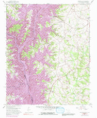
1959 Hartwell NE
Anderson County, SC
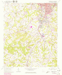
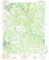
1964 Anderson South
Anderson County, SC
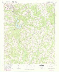
1964 Saylors Crossroads
Anderson County, SC
1983 Anderson North
Anderson County, SC
1983 Belton East
Anderson County, SC
1983 Belton West
Anderson County, SC
1983 Five Forks
Anderson County, SC
1983 Piercetown
Anderson County, SC
2024 Anderson North
Anderson County, SC
2024 Anderson South
Anderson County, SC
2024 Belton East
Anderson County, SC
2024 Belton West
Anderson County, SC
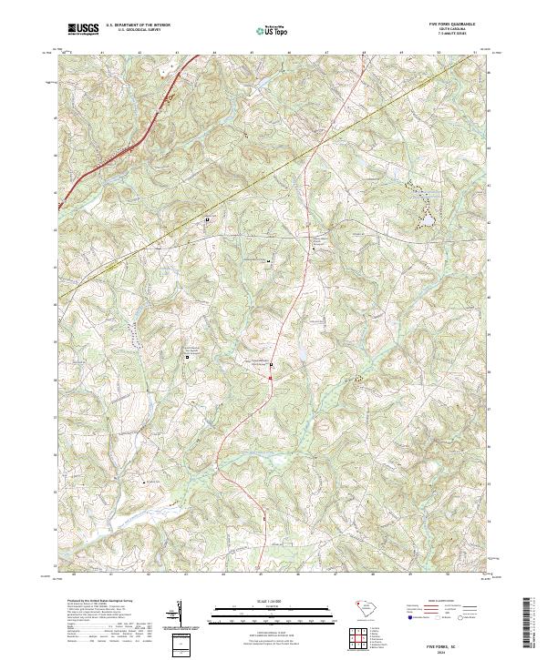
2024 Five Forks
Anderson County, SC
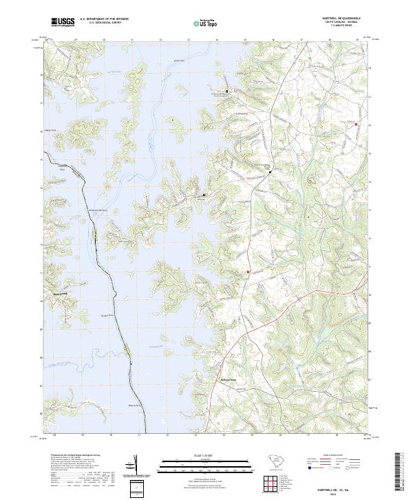
2024 Hartwell NE
Anderson County, SC
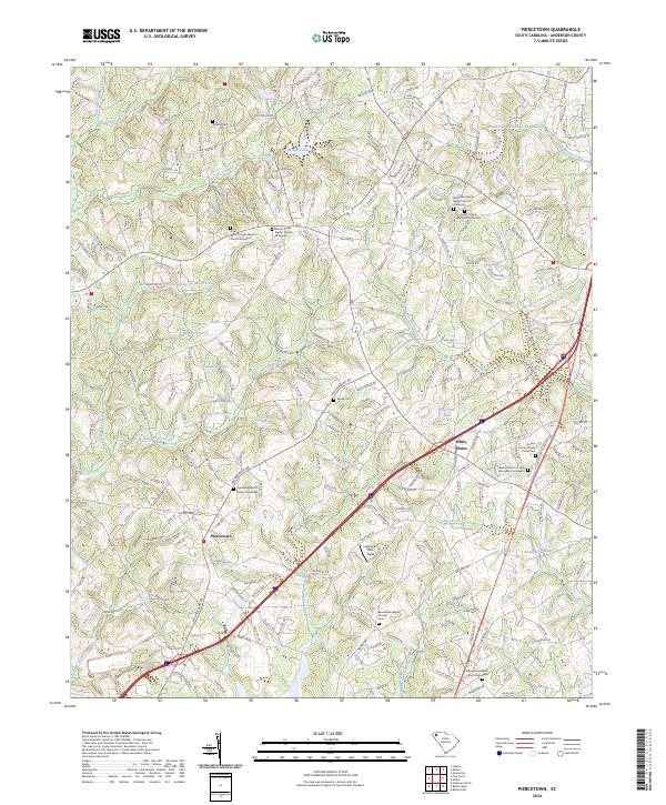
2024 Piercetown
Anderson County, SC
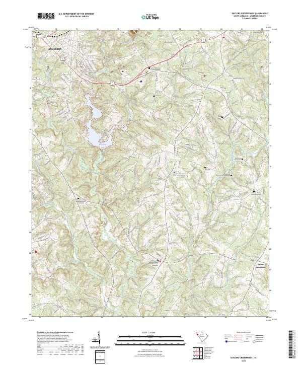
2024 Saylors Crossroads
Anderson County, SC