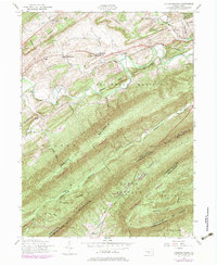
1952 Map of Andersonburg
USGS Topo · Published 1983About this map
Sherman Creek meanders through the northern valley of Perry County, shaping a landscape defined by parallel ridges and narrow gaps. During the mid-20th century, small agricultural settlements like Andersonburg and Bixler served as local hubs, connected by an Old RR Grade that traces the valley floor near the base of Sherman Ridge. This period of the 1950s, updated through the 1970s, shows a rural community anchored by institutions like St Paul Church and Clarks School, while the southern reaches are dominated by the heavily timbered slopes of Tuscarora State Forest. The geography is marked by the sharp rise of Tuscarora Mountain and Blue Mountain, where Doubling Gap provides a natural passage across the Cumberland County line. For those researching local history, the map includes family-named landmarks and the site of Fort Robertson near Limestone Ridge.
Find a feature on this map
57 named features on this map. Tap any name to fly to it.
Don’t see what you’re looking for? This feature index may not catch every label — zoom into the map to look around manually.
Map Details
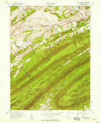
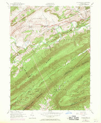
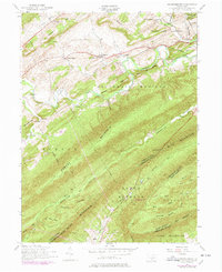
Editions of this 1952 Andersonburg Map
4 editions found
Other maps of this area

1919 · Newville
USGS Topo · 1:62,500

1919 · Mattawana
USGS Topo · 1:62,500

1923 · Shippensburg
USGS Topo · 1:62,500

1930 · Loysville
USGS Topo · 1:62,500

1933 · Loysville
USGS Topo · 1:62,500

1936 · East Waterford
USGS Topo · 1:48,000

1941 · East Waterford
USGS Topo · 1:62,500

1943 · Shippensburg
USGS Topo · 1:62,500

1945 · Newville
USGS Topo · 1:62,500

1945 · Shippensburg
USGS Topo · 1:62,500
Featured Places
- Saville Township, PA
- Centre, Southwest Madison Township
- Fort Robinson, Northeast Madison Township
- Northeast Madison Township, PA
- Andersonburg, Southwest Madison Township