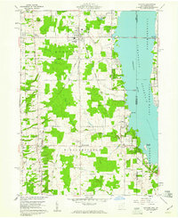
1959 Map of Andover
USGS Topo · Published 1961About this map
Andover and Williamsfield anchor this 1959 topographic survey, capturing a landscape defined by the expansive Pymatuning Reservoir along the Ohio and Pennsylvania border. The map illustrates a rural network of farm-to-market roads like Stanhope-Kelloggsville Road and California Road intersecting with the New York Central railroad corridor. While much of the area is agricultural, the presence of Pymatuning State Park and a Drive-in Theater south of Andover reflects the mid-century growth of local recreation.
Find a feature on this map
44 named features on this map. Tap any name to fly to it.
Don’t see what you’re looking for? This feature index may not catch every label — zoom into the map to look around manually.
Map Details
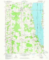
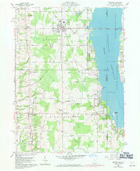
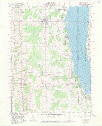
Editions of this 1959 Andover Map
4 editions found
Other maps of this area

1905 · Andover
USGS Topo · 1:48,000

1906 · Linesville
USGS Topo · 1:62,500

1907 · Andover
USGS Topo · 1:62,500

1907 · Kinsman
USGS Topo · 1:62,500

1908 · Shenango
USGS Topo · 1:62,500

1908 · Linesville
USGS Topo · 1:62,500

1950 · Cleveland
USGS Topo · 1:250,000

1956 · Cleveland
USGS Topo · 1:250,000

1958 · Greensville West
USGS Topo · 1:24,000

1959 · Hartstown
USGS Topo · 1:24,000