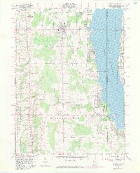
1959 Map of Andover
USGS Topo · Published 1971About this map
Andover and its surroundings are defined by the transition from rural agricultural land to the sprawling waters of the Pymatuning Reservoir. This 1959 survey, updated with 1970 aerial data, illustrates the impact of the reservoir on the landscape along the Ohio and Pennsylvania border. The Penn Central rail line cuts north-south through the townships, connecting the primary settlements of Williamsfield and West Williamsfield to the larger hub of Andover. Small-scale local history is preserved in the location of several family and community burial grounds, including Maple Grove Cem and West Lawn Cem, while mid-century leisure is represented by the Drive-in Theater and McMichaels Trailer Park near the shoreline. The topography remains relatively flat, drained by Black Creek and McMichael Creek as they flow toward the reservoir's edge.
Find a feature on this map
45 named features on this map. Tap any name to fly to it.
Don’t see what you’re looking for? This feature index may not catch every label — zoom into the map to look around manually.
Map Details
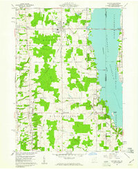
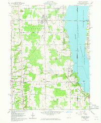
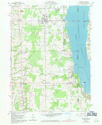
Editions of this 1959 Andover Map
4 editions found
Other maps of this area

1905 · Andover
USGS Topo · 1:48,000

1906 · Linesville
USGS Topo · 1:62,500

1907 · Andover
USGS Topo · 1:62,500

1907 · Kinsman
USGS Topo · 1:62,500

1908 · Shenango
USGS Topo · 1:62,500

1908 · Linesville
USGS Topo · 1:62,500

1950 · Cleveland
USGS Topo · 1:250,000

1956 · Cleveland
USGS Topo · 1:250,000

1958 · Greensville West
USGS Topo · 1:24,000

1959 · Hartstown
USGS Topo · 1:24,000
Featured Places
- Williamsfield, OH
- Andover, OH
- Cherry Valley Township, OH
- North Shenango Township, PA
- South Shenango Township, PA