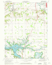
1969 Map of Andrews
USGS Topo · Published 1971About this map
The Wabash River and the newly established Salamonie Reservoir dominate this 1960s landscape, illustrating the transition of Huntington County from a purely river-and-rail agricultural district to one shaped by massive water management projects. To the north, the town of Andrews sits along the Norfolk and Western line, while the southern portion of the map shows the inundation of the Salamonie River valley, where the Monument City Memorial Cem stands as a reminder of the community displaced by the reservoir. Scattered rural landmarks like the German Settlement Cem and Pilcher Chapel anchor the farming country between Harlansburg and Lancaster. This period saw the creation of leisure spaces like the Loss Bridge State Recreation Area and Mount Etna State Recreation Area, which began to redefine the local economy alongside long-standing features like the Riverside Cem and several rural schoolhouses.
Find a feature on this map
35 named features on this map. Tap any name to fly to it.
Don’t see what you’re looking for? This feature index may not catch every label — zoom into the map to look around manually.
Map Details
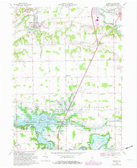
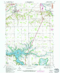
Editions of this 1969 Andrews Map
3 editions found
Other maps of this area

1950 · Lagro
USGS Topo · 1:24,000

1950 · Andrews
USGS Topo · 1:24,000

1950 · Warren
USGS Topo · 1:24,000

1950 · Mount Etna
USGS Topo · 1:24,000

1951 · Mount Etna
USGS Topo · 1:24,000

1951 · Andrews
USGS Topo · 1:24,000

1951 · Lagro
USGS Topo · 1:24,000

1952 · Warren
USGS Topo · 1:24,000

1952 · Majenica
USGS Topo · 1:24,000

1953 · La Fontaine
USGS Topo · 1:24,000