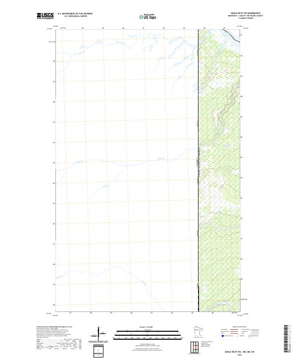
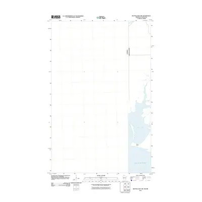
2022 Map of Angle Inlet SW
USGS Topo · Published 2022About this map
The Canada United States Of America international boundary defines the eastern edge of this remote wilderness area in the northernmost point of Minnesota. Dominating the landscape is the expansive Sevenmile Swamp, a wetland complex that dictates the local geography and limits traditional development. The hydrological network is characterized by winding seasonal and permanent waterways, including Harrison Cr, Poplar Cr, and Stony Cr, which flow toward the Northwest Angle Inlet. These features illustrate the drainage patterns of a landscape nearly untouched by permanent settlement.
Find a feature on this map
10 named features on this map. Tap any name to fly to it.
Don’t see what you’re looking for? This feature index may not catch every label — zoom into the map to look around manually.
Map Details
Editions of this 2022 Angle Inlet SW Map
This is the sole edition of this map. No revisions or reprints were ever made.
Other maps of this area

1918 · Buffalo Bay
USGS Topo · 1:62,500

1963 · Kenora
USGS Topo · 1:250,000
1967 · Buffalo Bay NW
USGS Topo · 1:24,000
1967 · Buffalo Bay NE
USGS Topo · 1:24,000
1967 · Angle Inlet
USGS Topo · 1:24,000
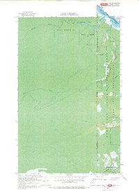
1967 · Angle Inlet SW
USGS Topo · 1:24,000
1985 · Angle Inlet
USGS Topo · 1:100,000
2010 · Buffalo Bay NE
USGS Topo · 1:24,000
2010 · Angle Inlet
USGS Topo · 1:24,000
2011 · Buffalo Bay NW
USGS Topo · 1:24,000