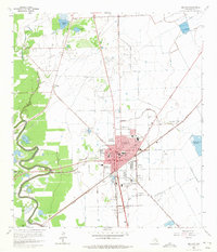
1963 Map of Angleton
USGS Topo · Published 1975About this map
Angleton serves as a bustling hub of rail and industry in the early 1960s, defined by the crossing of the Missouri Pacific railroad lines and a growing network of public institutions. The town is densely packed with local landmarks, including the Central Sch, Jr High Sch, and the Armory, while the Fairground sits on the eastern edge. This coastal prairie landscape is heavily shaped by natural resource extraction, with the expansive Chenango Oil Field and Angleton Oil Field blanketing the northern territory.
Find a feature on this map
38 named features on this map. Tap any name to fly to it.
Don’t see what you’re looking for? This feature index may not catch every label — zoom into the map to look around manually.
Map Details
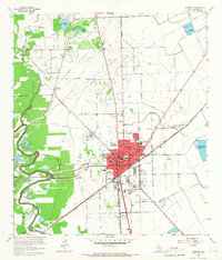
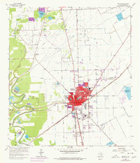
Editions of this 1963 Angleton Map
3 editions found
Other maps of this area

1943 · Oyster Creek
USGS Topo · 1:31,680

1943 · Rosharon
USGS Topo · 1:31,680

1943 · Danbury
USGS Topo · 1:31,680

1943 · Angleton
USGS Topo · 1:24,000

1943 · Chocolate Bayou
USGS Topo · 1:24,000

1943 · Snipe
USGS Topo · 1:31,680

1950 · Houston
USGS Topo · 1:250,000

1952 · East Columbia
USGS Topo · 1:24,000

1952 · Brazoria
USGS Topo · 1:24,000

1953 · Otey
USGS Topo · 1:24,000