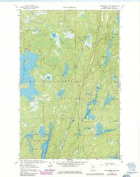
1963 Map of Angleworm Lake
USGS Topo · Published 1986About this map
The Boundary Waters Canoe Area Wilderness defines this landscape of interconnected waterways and dense timber within the Superior National Forest. This 1963 survey, with revisions through the mid-1980s, highlights the essential portage routes and trails that navigate between Angleworm Lake and Stuart River. The topography is marked by significant landmarks like the Angleworm Lookout Tower and the Pictured Rocks on North Hegman Lake, indicating the area's importance for forest management and conservation.
Find a feature on this map
42 named features on this map. Tap any name to fly to it.
Don’t see what you’re looking for? This feature index may not catch every label — zoom into the map to look around manually.
Map Details
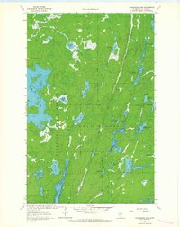
Editions of this 1963 Angleworm Lake Map
2 editions found
Other maps of this area

1933 · Ely
USGS Topo · 1:62,500

1939 · Ely
USGS Topo · 1:62,500

1954 · Two Harbors
USGS Topo · 1:250,000

1954 · Hibbing
USGS Topo · 1:250,000

1954 · International Falls
USGS Topo · 1:250,000

1956 · Crab Lake
USGS Topo · 1:24,000

1957 · Two Harbors
USGS Topo · 1:250,000

1957 · Hibbing
USGS Topo · 1:250,000

1957 · International Falls
USGS Topo · 1:250,000

1957 · Quetico
USGS Topo · 1:250,000