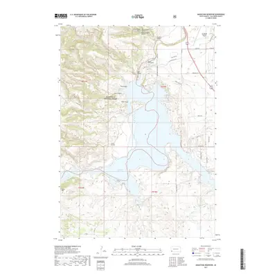
2017 Map of Angostura Reservoir
USGS Topo · Published 2017About this map
Angostura Reservoir serves as the central focal point of this 2017 study, where the waters of the Cheyenne River are impounded within the southeastern reaches of the Black Hills National Forest. The landscape is defined by a series of rugged drainages and canyons that feed into the reservoir, including Red Canyon, Adams Canyon, and Green Canyon. To the west, the elevation rises toward Tepee Mtn, while the northeast corner is marked by the Hot Springs Municipal Airport.
Find a feature on this map
48 named features on this map. Tap any name to fly to it.
Don’t see what you’re looking for? This feature index may not catch every label — zoom into the map to look around manually.
Map Details
Editions of this 2017 Angostura Reservoir Map
This is the sole edition of this map. No revisions or reprints were ever made.
Other maps of this area

1896 · Oelrichs
USGS Topo · 1:125,000

1900 · Oelrichs
USGS Topo · 1:125,000

1902 · Edgemont
USGS Topo · 1:125,000

1950 · Hot Springs
USGS Topo · 1:24,000

1950 · Buffalo Gap
USGS Topo · 1:24,000

1950 · Heppner
USGS Topo · 1:24,000

1950 · Cascade Springs
USGS Topo · 1:24,000

1950 · Hot Springs SE
USGS Topo · 1:24,000

1950 · Angostura Reservoir
USGS Topo · 1:24,000

1951 · Minnekahta NE
USGS Topo · 1:24,000