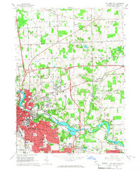
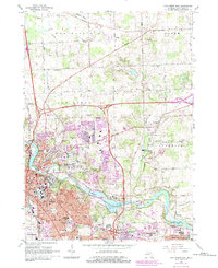
1965 Map of Ann Arbor East
USGS Topo · Published 1967About this map
The Huron River corridor anchors this 1965 survey, depicting a period of significant expansion for Ann Arbor as residential developments and academic infrastructure pushed eastward. The University of Michigan (North Campus) and Concordia College appear alongside established landmarks like the U of M Stadium and City Hall. To the north and east, the landscape remains primarily agricultural and open, defined by the historic paths of Pontiac Trail and Territorial Road.
Find a feature on this map
67 named features on this map. Tap any name to fly to it.
Don’t see what you’re looking for? This feature index may not catch every label — zoom into the map to look around manually.
Map Details
Editions of this 1965 Ann Arbor East Map
7 editions found
Other maps of this area

1902 · South Lyon
USGS Topo · 1:62,500

1902 · Ypsilanti
USGS Topo · 1:62,500

1902 · Dexter
USGS Topo · 1:62,500

1904 · Ann Arbor
USGS Topo · 1:125,000

1906 · Ypsilanti
USGS Topo · 1:62,500

1906 · Dexter
USGS Topo · 1:62,500

1906 · Saline
USGS Topo · 1:62,500

1906 · South Lyon
USGS Topo · 1:62,500

1908 · Ann Arbor
USGS Topo · 1:125,000
1936 · Denton
USGS Topo · 1:31,680
Featured Places
- Ann Arbor, MI
- Ypsilanti Charter Township, MI
- Pittsfield Charter Township, MI
- Ypsilanti, MI
- Superior Charter Township, MI