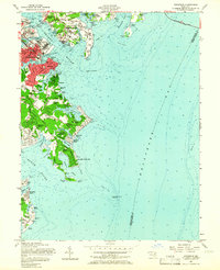
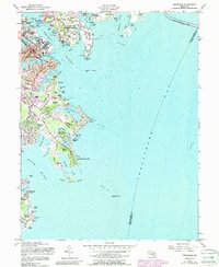
1957 Map of Annapolis
USGS Topo · Published 1966About this map
The Maryland state capital of Annapolis is shown here during a period of mid-century coastal expansion, centered between the mouths of the Severn River and the South River. The riverfront is dominated by the sprawling grounds of the U S Naval Academy and the U S Naval Reservation, while the historic city core retains its traditional street plan around the State Capitol and St Johns College.
Find a feature on this map
83 named features on this map. Tap any name to fly to it.
Don’t see what you’re looking for? This feature index may not catch every label — zoom into the map to look around manually.
Map Details
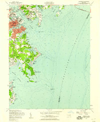
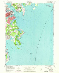
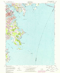
Editions of this 1957 Annapolis Map
5 editions found
Other maps of this area

1892 · Owensville
USGS Topo · 1:62,500

1892 · Annapolis
USGS Topo · 1:62,500

1893 · North Point
USGS Topo · 1:62,500

1894 · Relay
USGS Topo · 1:62,500

1895 · Owensville
USGS Topo · 1:62,500

1898 · Choptank
USGS Topo · 1:125,000

1898 · Tolchester
USGS Topo · 1:125,000

1899 · Patuxent
USGS Topo · 1:125,000

1903 · Tolchester
USGS Topo · 1:125,000

1904 · North Point
USGS Topo · 1:62,500