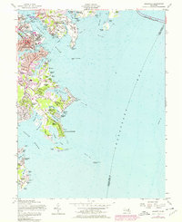
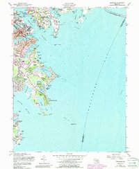
1957 Map of Annapolis
USGS Topo · Published 1976About this map
Annapolis and its waterfront neighborhoods serve as the focal point of this mid-century coastal survey. The established grounds of the St Johns College and the U S Naval Academy anchor the city, while the southern peninsula showcases a complex network of residential developments and leisure sites including Hillsmere Shores, Bay Ridge, and Arundel on the Bay.
Find a feature on this map
109 named features on this map. Tap any name to fly to it.
Don’t see what you’re looking for? This feature index may not catch every label — zoom into the map to look around manually.
Map Details
Editions of this 1957 Annapolis Map
5 editions found
Other maps of this area

1892 · Owensville
USGS Topo · 1:62,500

1892 · Annapolis
USGS Topo · 1:62,500

1893 · North Point
USGS Topo · 1:62,500

1894 · Relay
USGS Topo · 1:62,500

1895 · Owensville
USGS Topo · 1:62,500

1898 · Choptank
USGS Topo · 1:125,000

1898 · Tolchester
USGS Topo · 1:125,000

1899 · Patuxent
USGS Topo · 1:125,000

1903 · Tolchester
USGS Topo · 1:125,000

1904 · North Point
USGS Topo · 1:62,500