
1893 Map of Anson
USGS Topo · Published 1893About this map
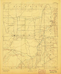
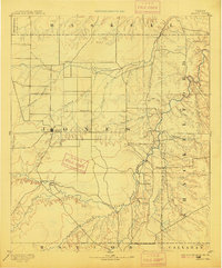
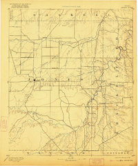
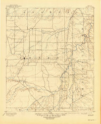
The county seat at Anson sits as the primary hub of this 1890s West Texas landscape, surrounded by a network of cattle-country settlements and intermittent waterways. The topography is dominated by the winding path of the Clear Fork of Brazos River, which cuts through the eastern portion of the survey. Strategic outposts such as Phantom Hill and Rising Sun appear along the river's drainage, marking early centers of activity in Jones and Shackelford Counties before the arrival of major rail lines.
Find a feature on this map
34 named features on this map. Tap any name to fly to it.
Don’t see what you’re looking for? This feature index may not catch every label — zoom into the map to look around manually.
Map Details
Editions of this 1893 Anson Map
5 editions found
Other maps of this area

1890 · Abilene
USGS Topo · 1:125,000

1891 · Anson
USGS Topo · 1:125,000

1892 · Abilene
USGS Topo · 1:125,000

1892 · Albany
USGS Topo · 1:125,000

1893 · Albany
USGS Topo · 1:125,000

1893 · Roby
USGS Topo · 1:125,000

1893 · Sweetwater
USGS Topo · 1:125,000

1931 · Baird
USGS Topo · 1:125,000

1931 · Aspermont
USGS Topo · 1:62,500

1932 · Baird
USGS Topo · 1:125,000